
|
Plumas National Forest
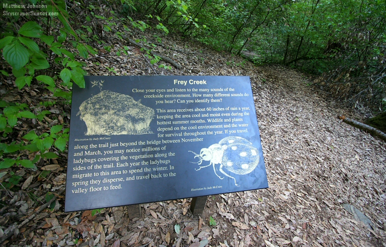
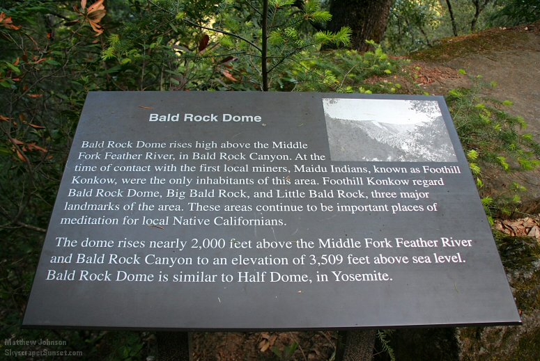
May 6, 2007 When I'm in Northern California for a weekend, I usually head over to San Francisco and its awesome photographic opportunities. Having been there three times, though (1, 2, 3), I set out in a different direction on Sunday, May 6: Feather Falls Scenic Area in Plumas National Forest, which is about 2 hours north of Sacramento. After a beautiful drive through the mountainous area around Lake Oroville, I arrived at about 7:30 AM to a mostly empty trailhead parking lot. Armed with just my camera, Camelbak, and four PowerBars, I walked into the trails alone. 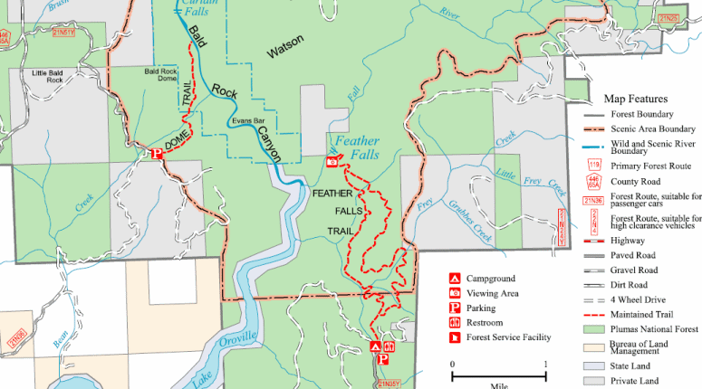 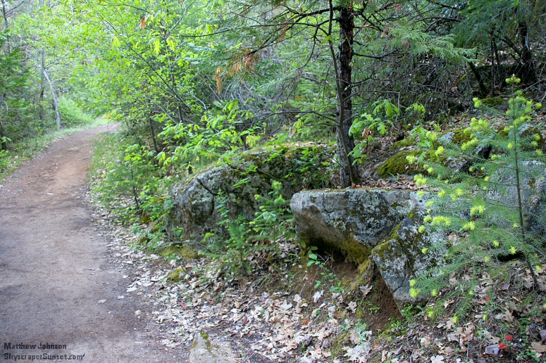 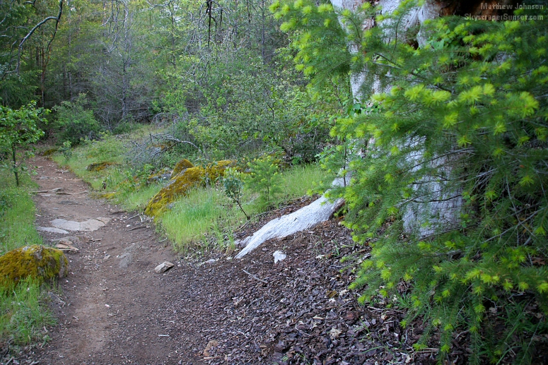 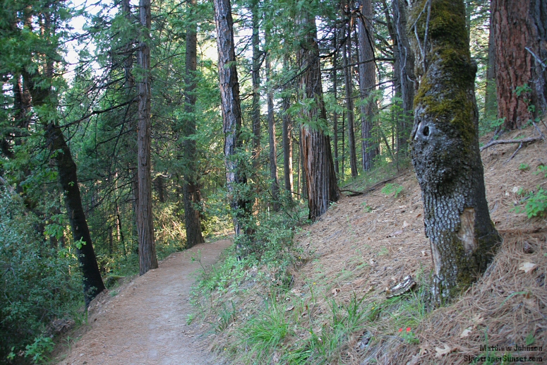 About a half-mile into the trail, this decision. I took the shorter route, knowing I would have to make a return. The theory was that I'd take the easier (shorter) way, then the harder (longer) way back if I had a lot of energy. At the time, I didn't know the shorter way was much steeper on the uphills and downhills, and was a lot more difficult. 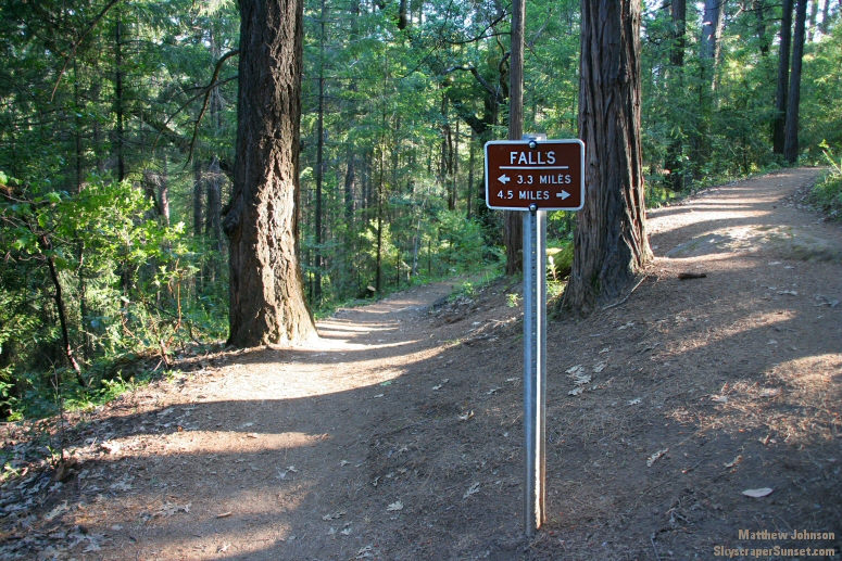 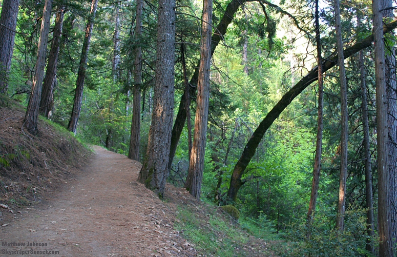 The base of this tree was more than twice as wide as my shoulders, and it had to be 200 ft. tall. Although it was a little larger than some of the others nearby, it was by no means out of the ordinary. 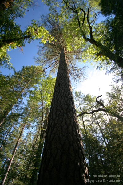 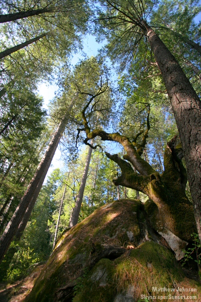 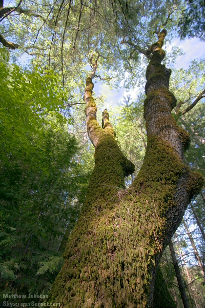 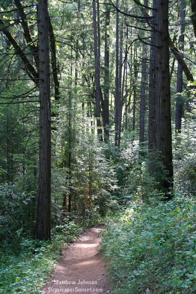 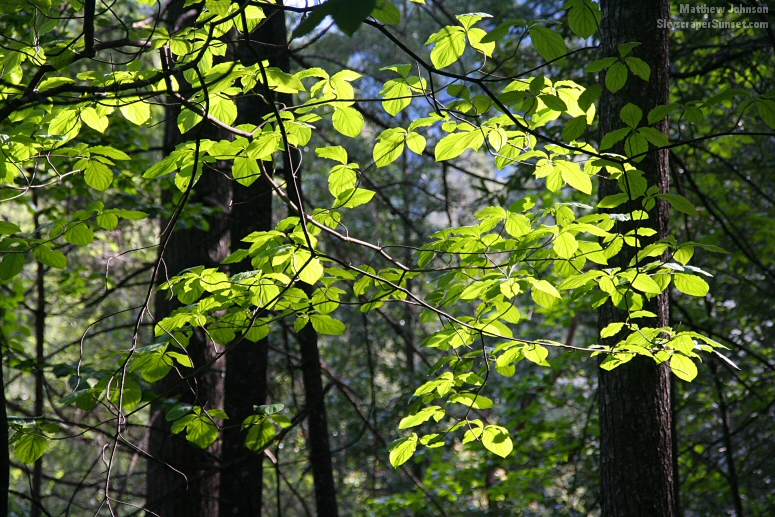  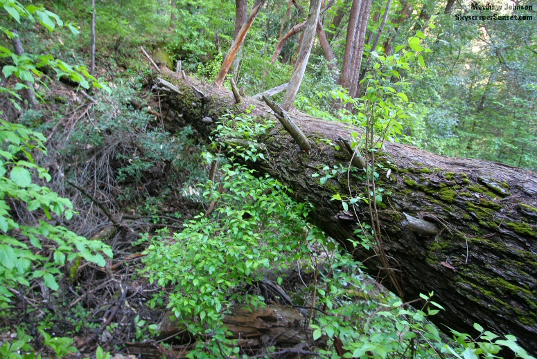 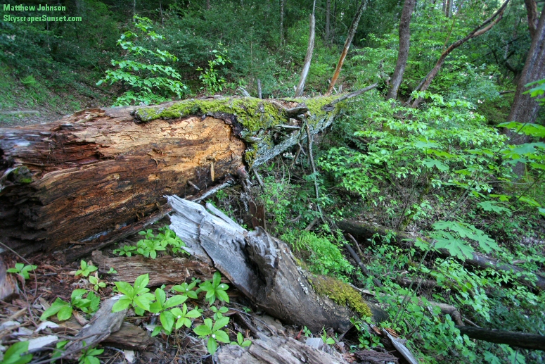 Just over an hour into the hike. At this point I've been walking mostly downhill for the last half hour. Although a slight downhill can make a walk easier, this one was too steep and was actually more tiring than an uphill. I'd also noticed a sound of rushing water growing much louder as time went on. I thought it might be the sound of the falls carrying just the right way through a valley. The temperature was also dropping, the air becoming more humid, and everything seemed to be covered in a layer of moss. 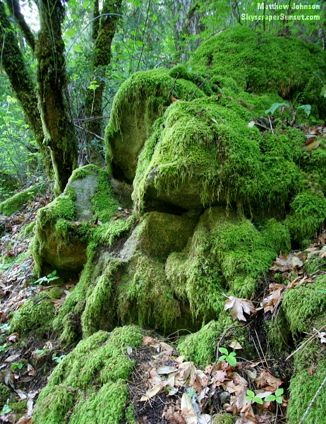 A few minutes later I discovered the source of the noise: the first crossing of Frey Creek. (Read the trail's sign about Frey Creek by clicking here.) 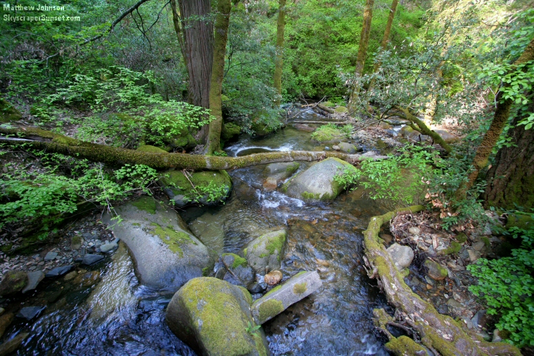 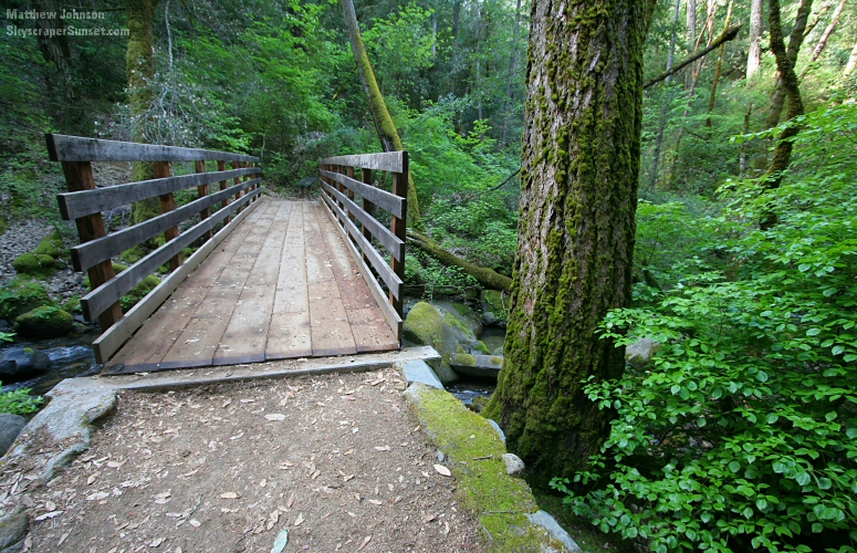 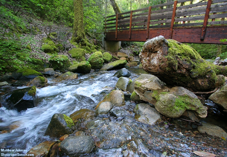 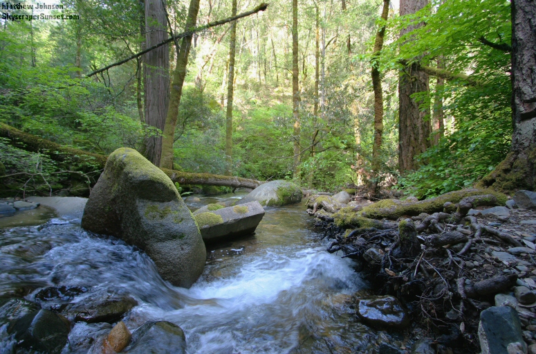 Once I crossed the creek, the trail of course began to go uphill. The air warmed up and things dried out a little bit as I climbed. 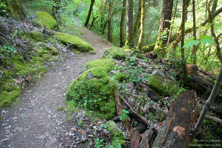 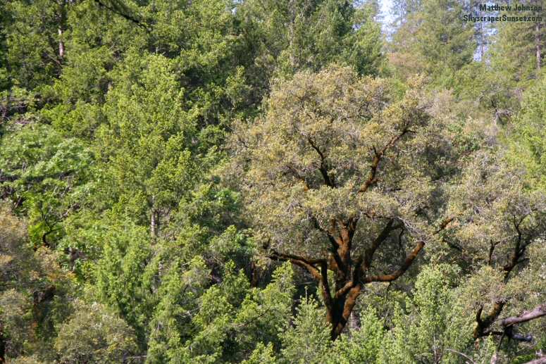 The trees thinned out to the left side of the path, leaving me walking on the side of a mountain... 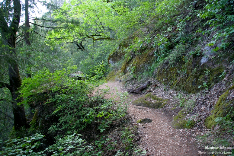 ...the clearing and increased elevation gave some wide-open views to the left across the valley. 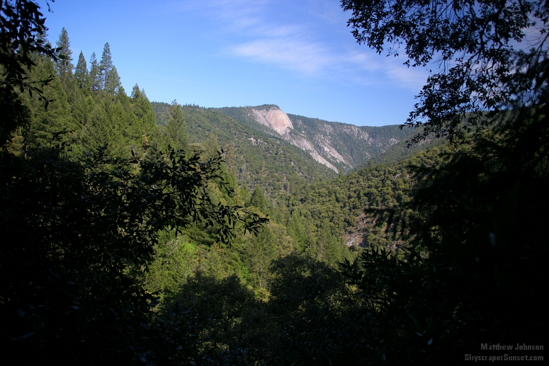 Bald Rock Dome. (Read the trail's sign about Bald Rock Dome by clicking here.) 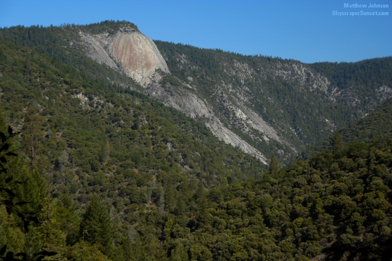 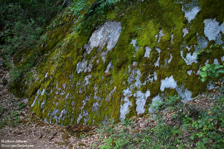 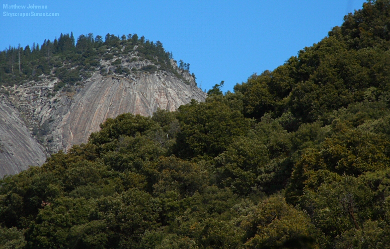 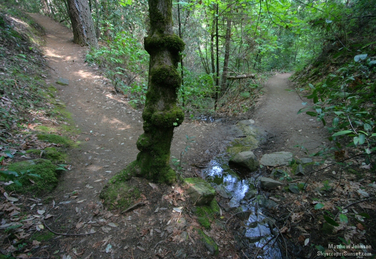 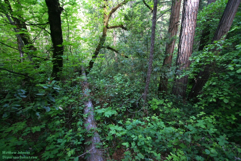 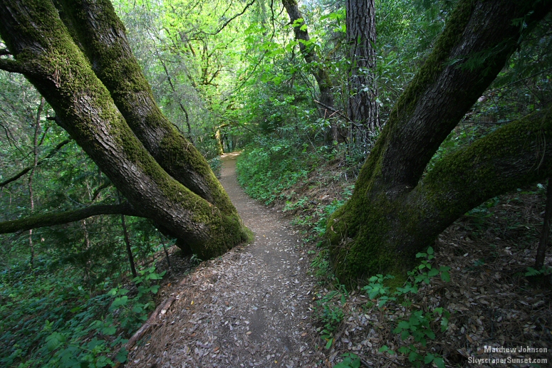 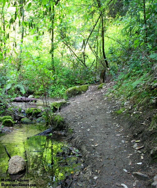 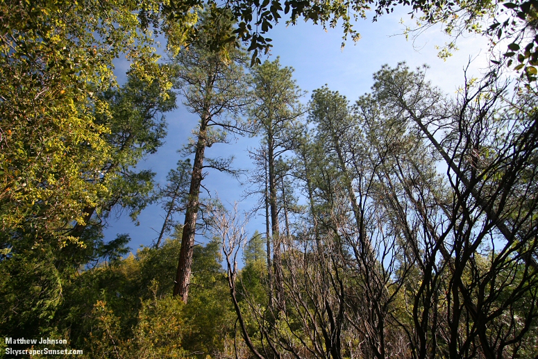 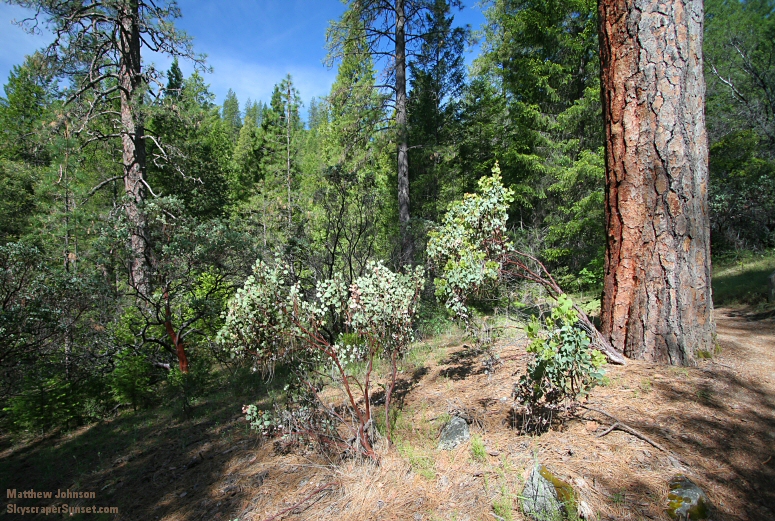 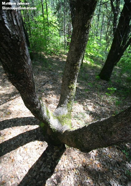 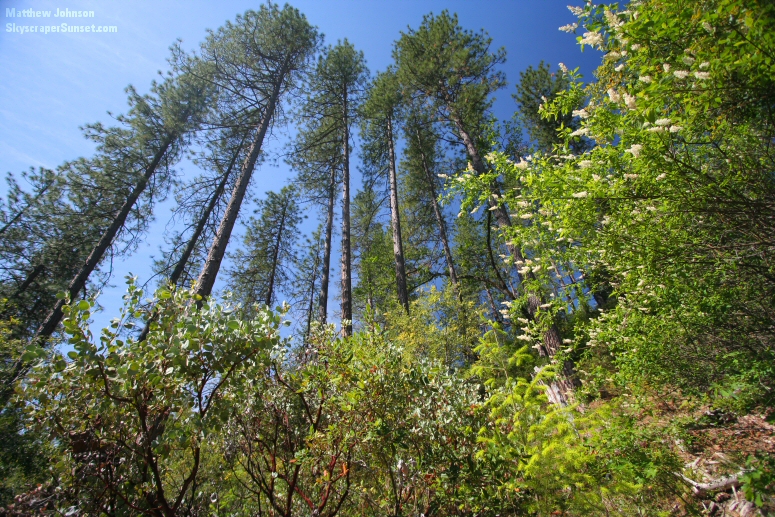 Climbing the last half-mile to the falls. Two and half hours of hiking, and at this point, I had still not seen another person since the trailhead. 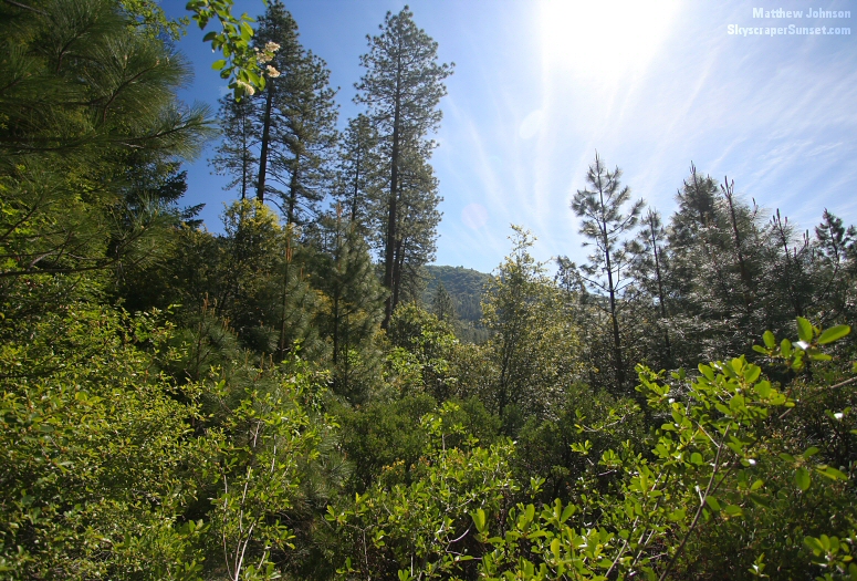 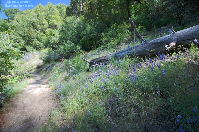 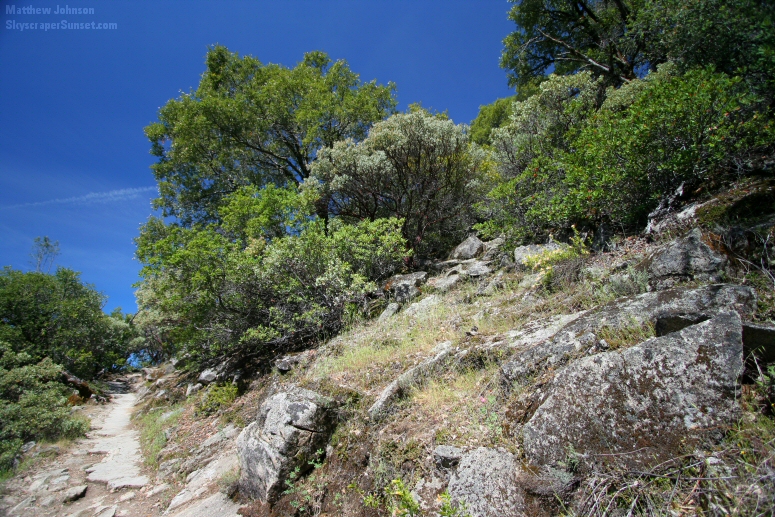 Just before the falls overlook, this other overlook offers views nearly as beautiful. Here, the Middle Fork of the Feather River drains to Lake Oroville. 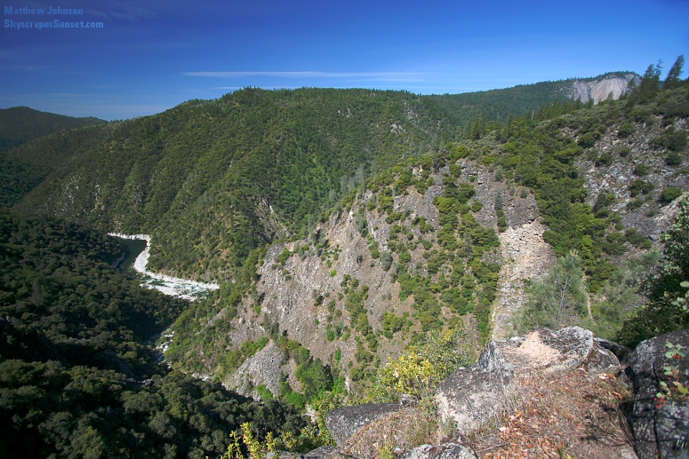 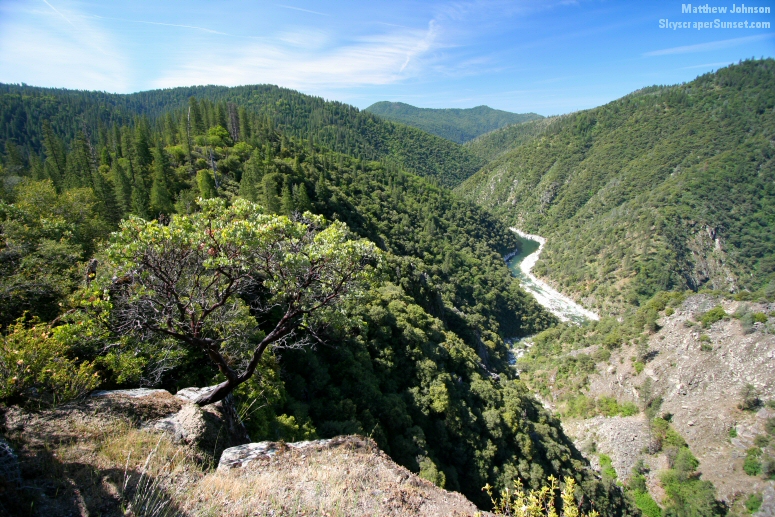 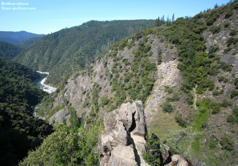 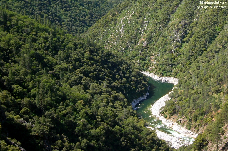 Finally, Feather Falls as seen from the overlook point. 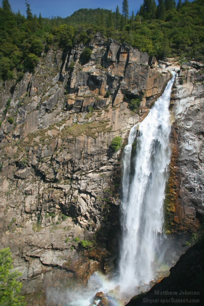 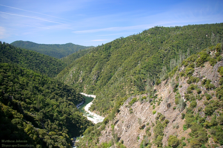 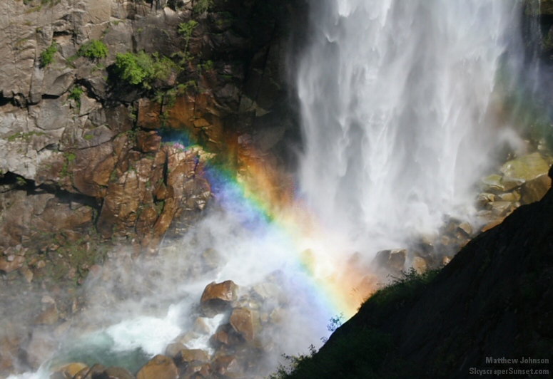 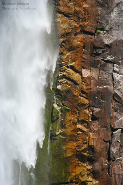 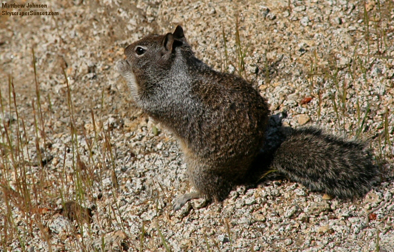 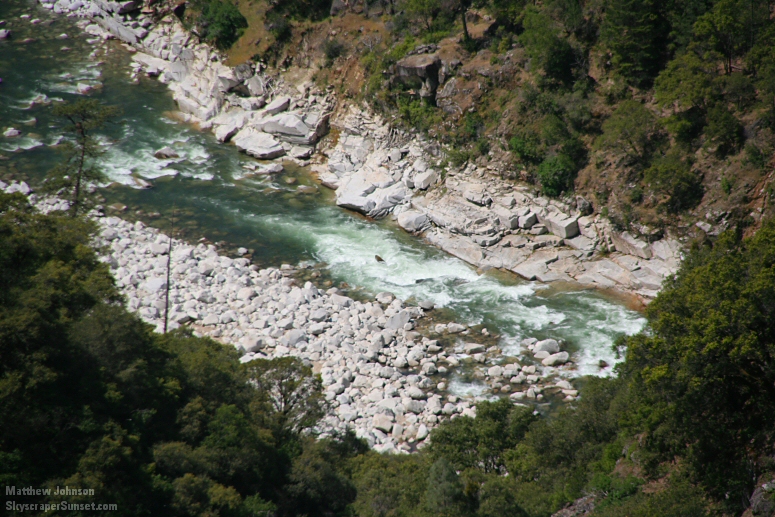 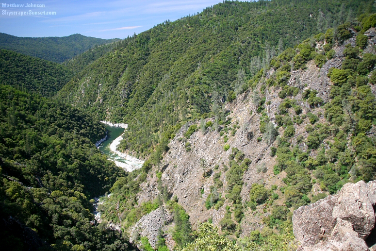 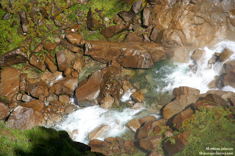 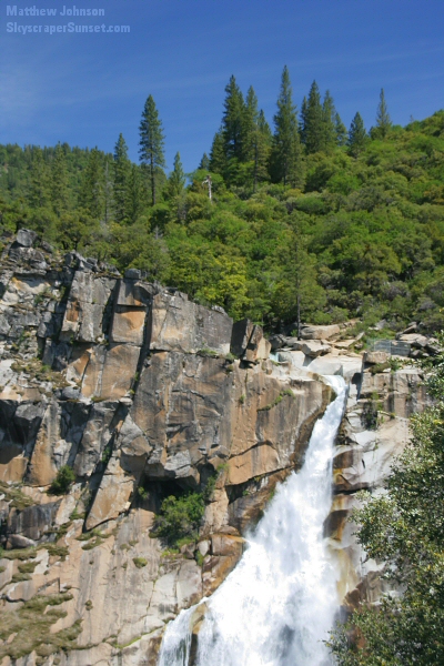 Just before the plunge. 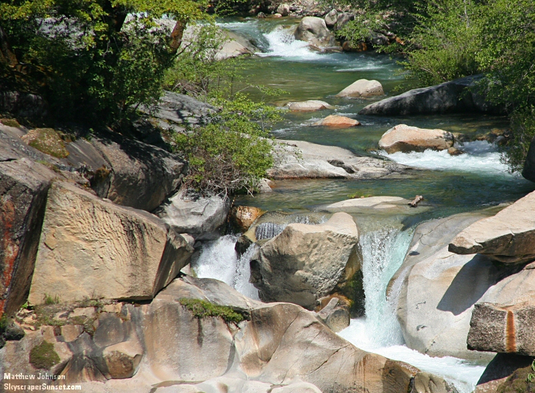 On the way back down.  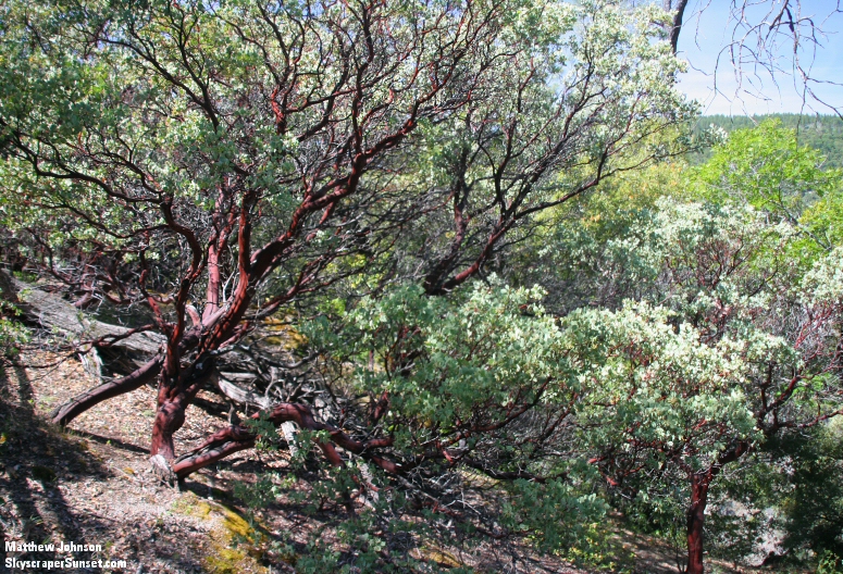 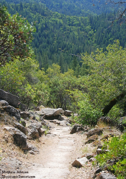 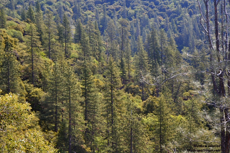 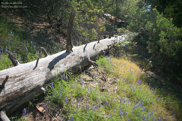 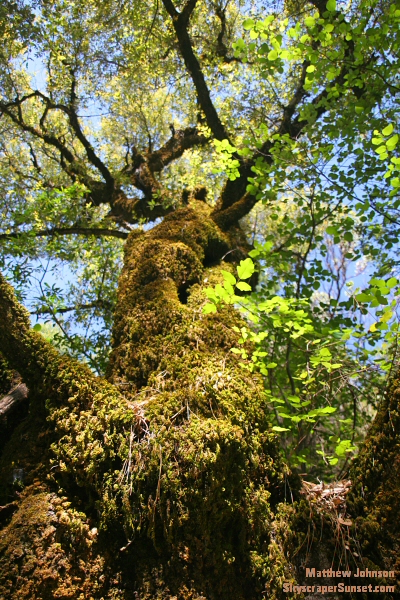 This little guy cooperated, but just for one shot. 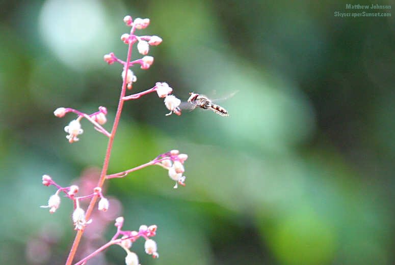 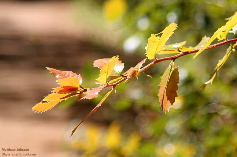 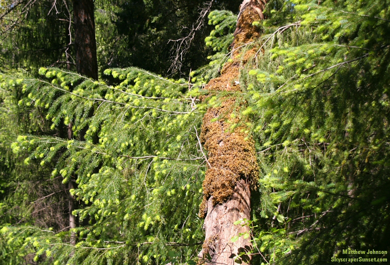 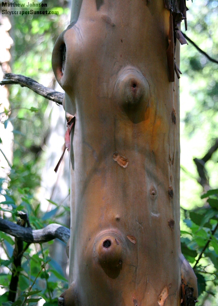 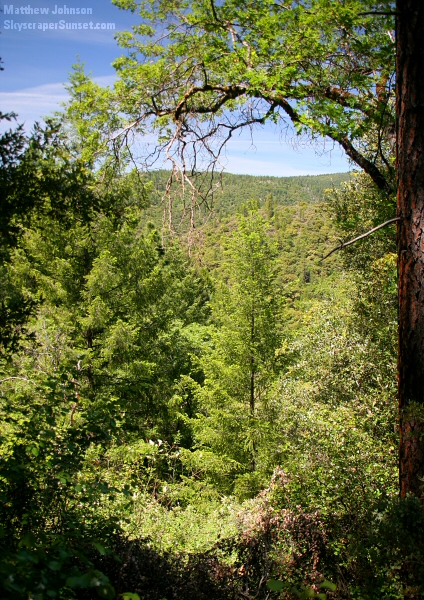 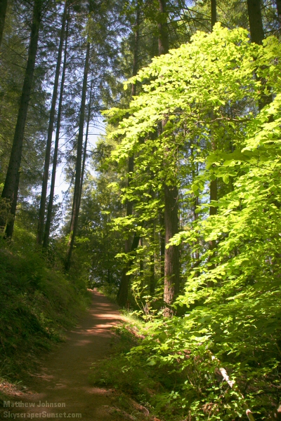 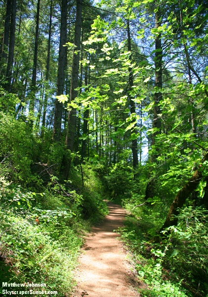 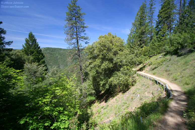 A more distant view of Bald Rock dome from the upper path. 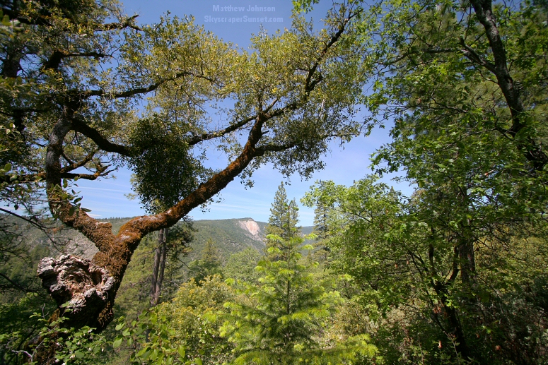 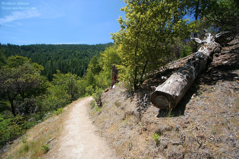 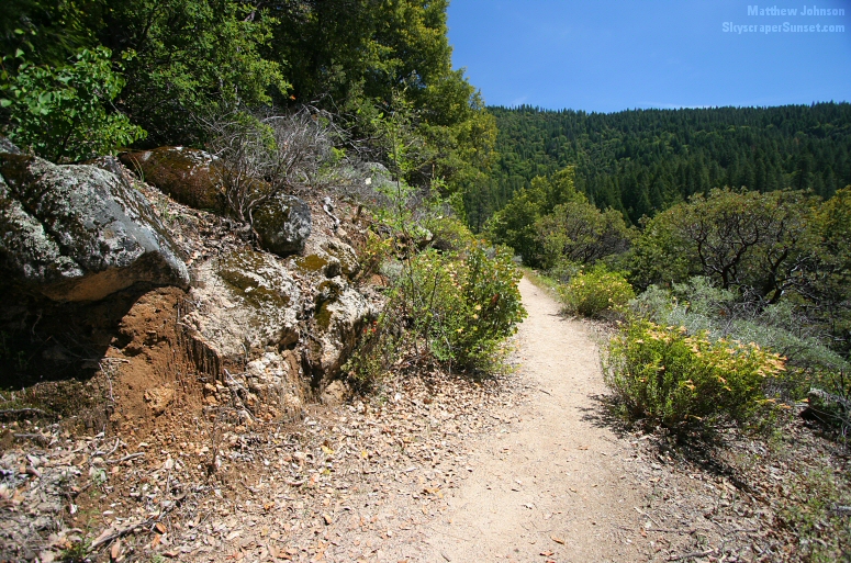 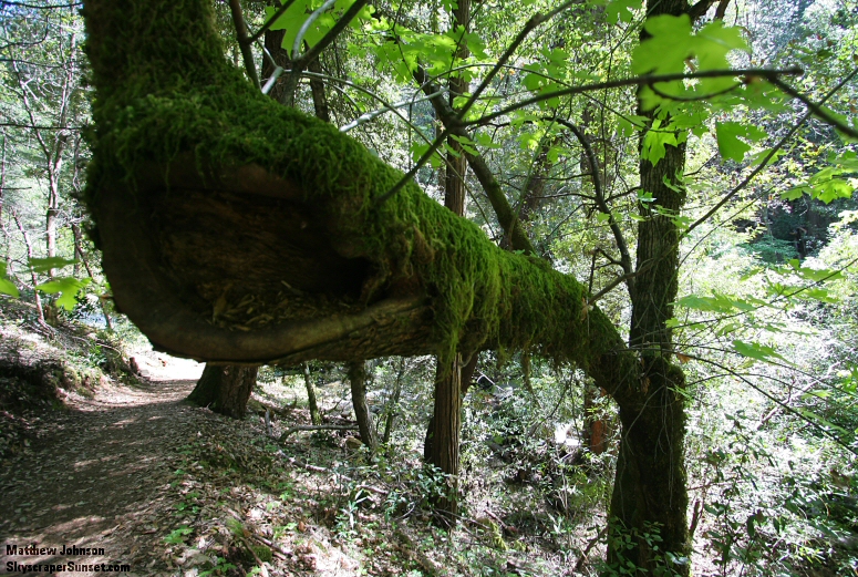 Second crossing of Frey Creek, with a small unnamed waterfall. 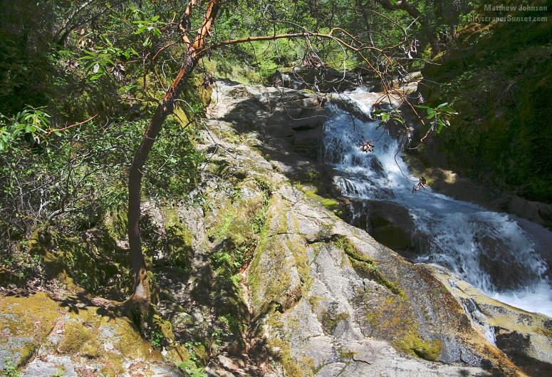 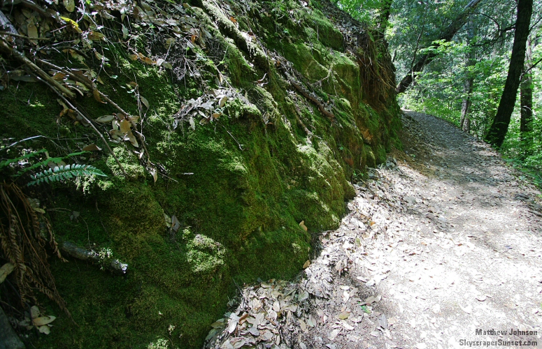 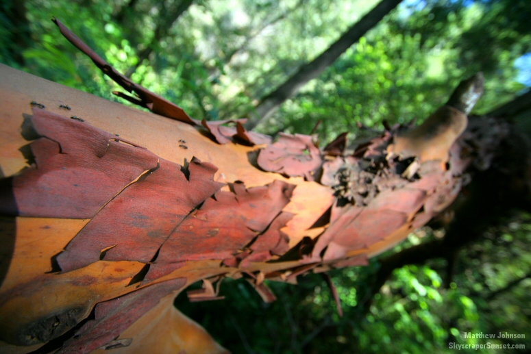 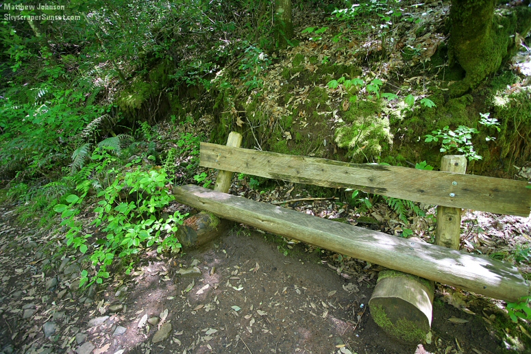 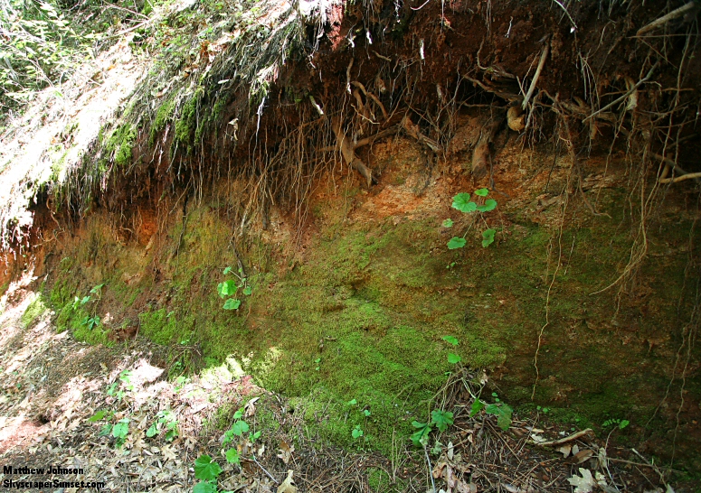 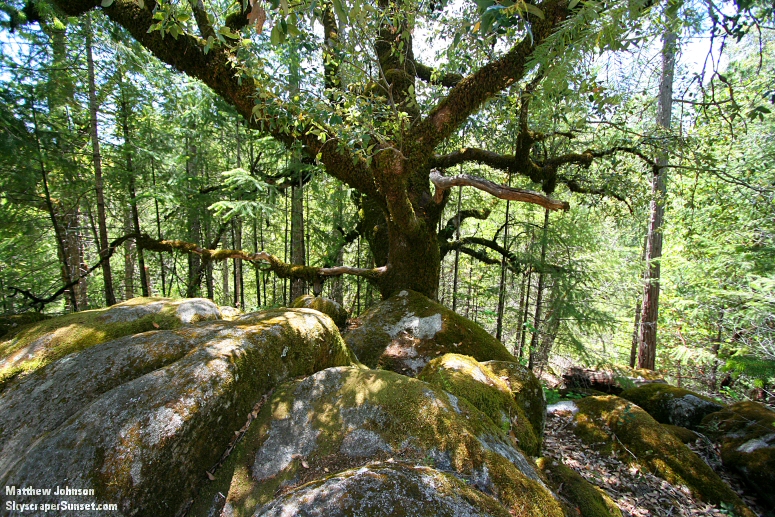 Back at the trailhead. 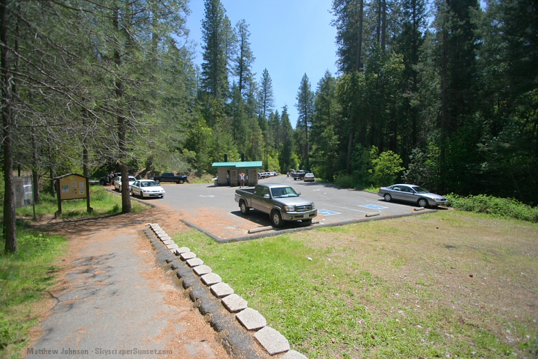 About 10 miles into the return drive, an overlook gives this awesome view of Lake Oroville. 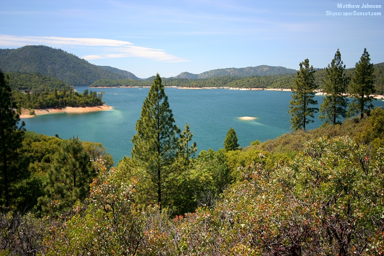 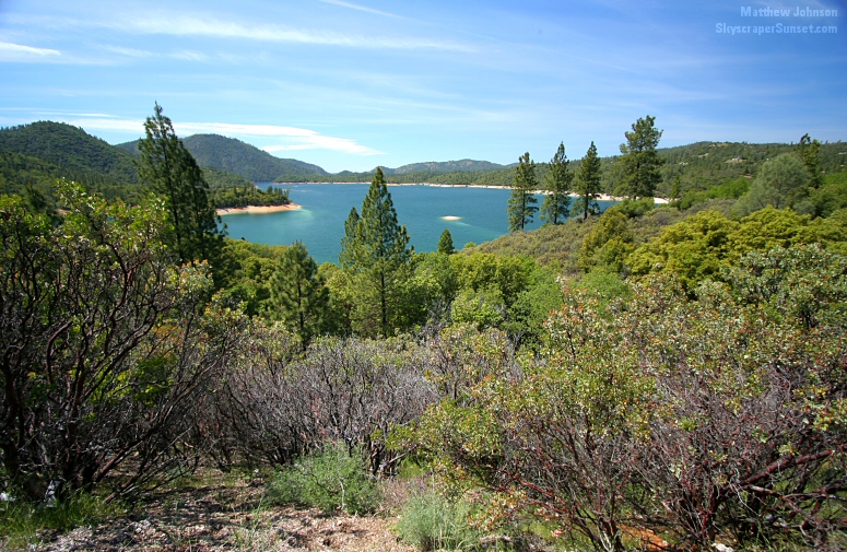
|