|
Philadelphia
January 7, 2006 From my description for a PhillySkyline.com neighborhood tour:
Manayunk is located on the northeast banks of the Schuylkill River, about 10 miles upstream of Center City Philadelphia. 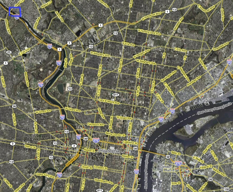 The photos that make up this tour were taken along this route: 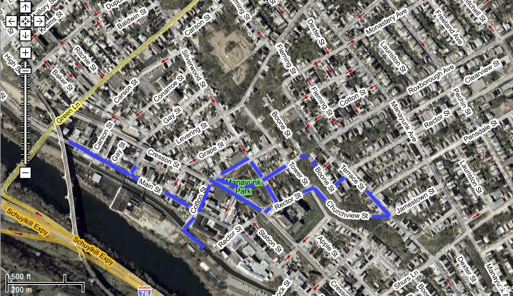 I started out on the northeast side of Pretzel Park. 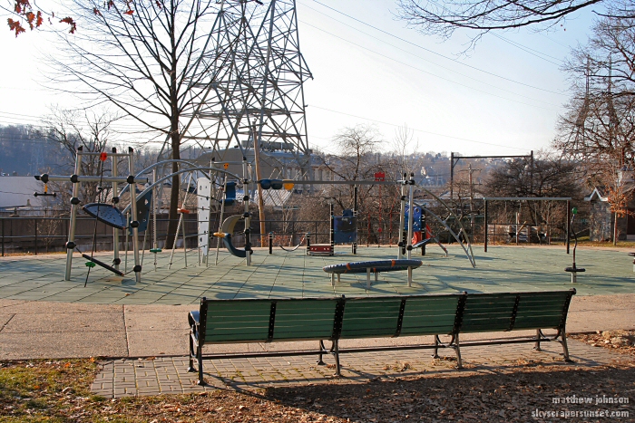 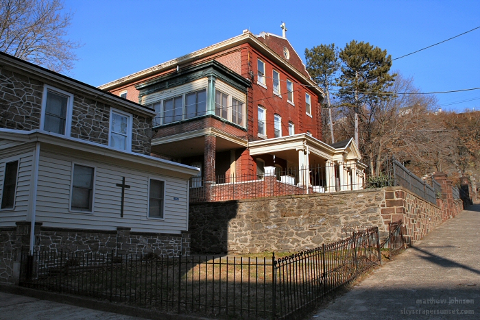 This rocky ledge is about a block northeast of the park and runs through Manayunk, separating the neighborhood. 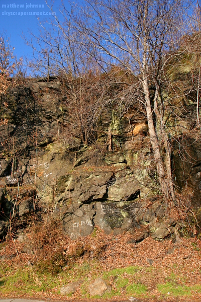 Walking up Churchview St. gives this view. 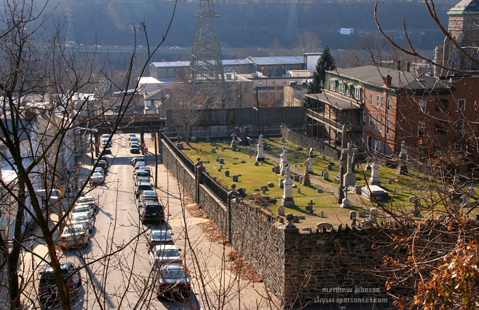 Churchview St. looking east 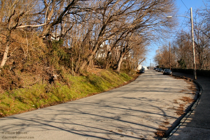 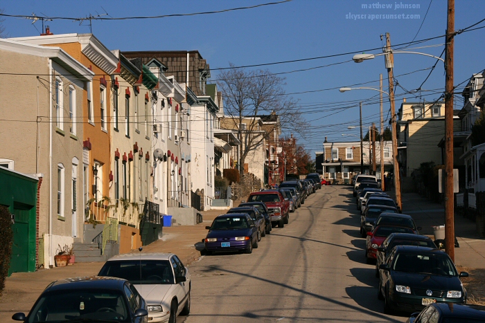 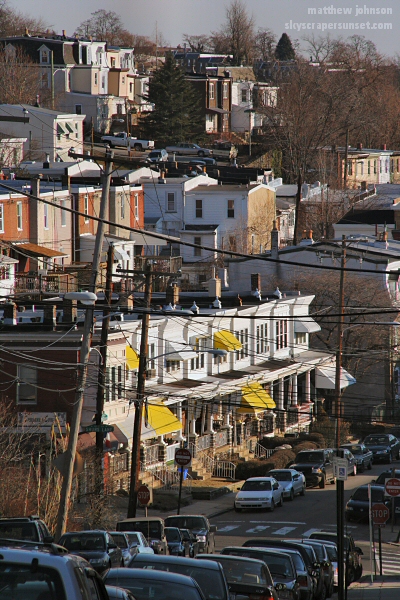 Terrace St. looking southeast 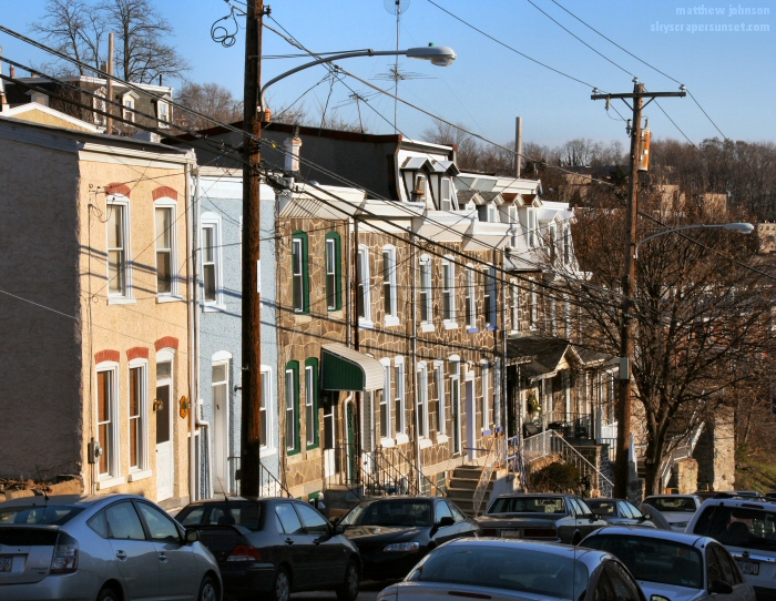 Terrace St. looking northwest 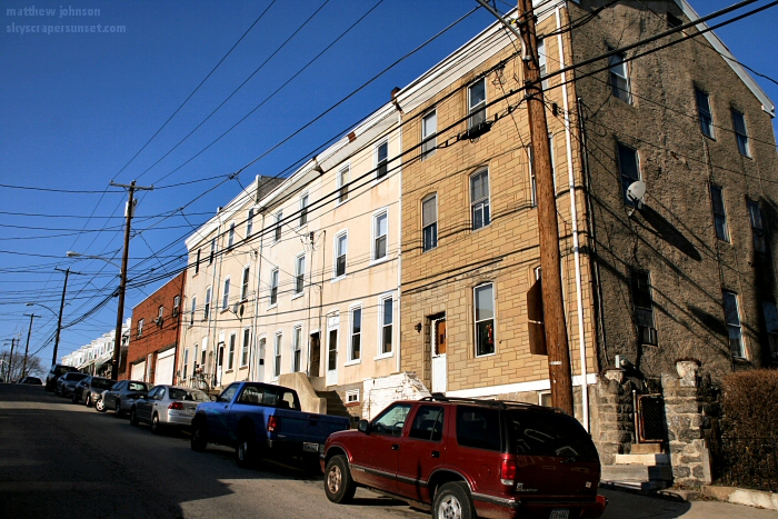 Terrace St. looking northwest 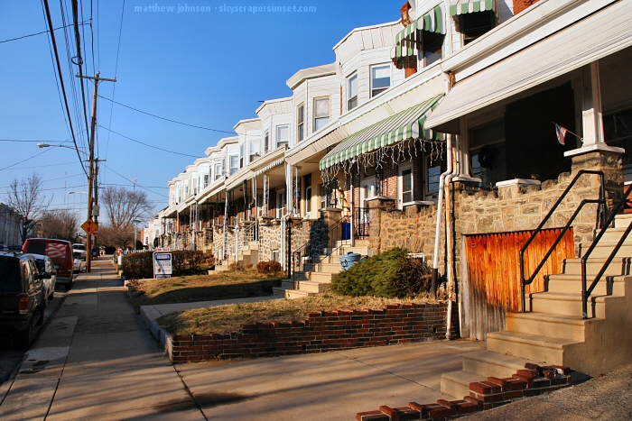 Newer homes at Terrace and Rector 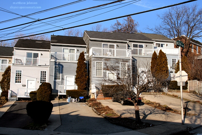 Terrace St. looking southeast 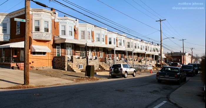 Boone St. 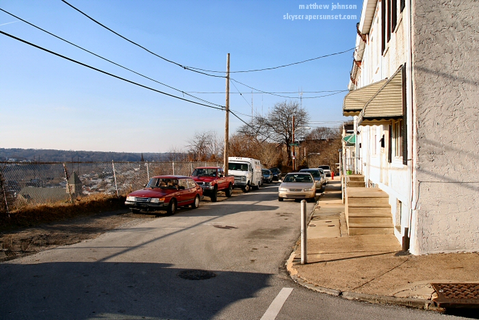 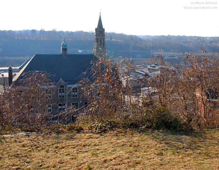 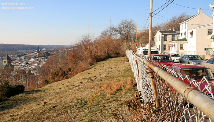 To the west in the distance 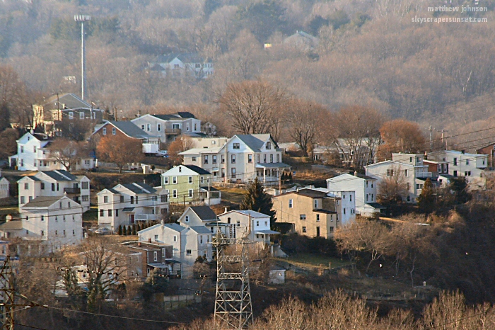 Lofty St. 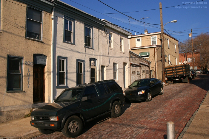 Boone St. 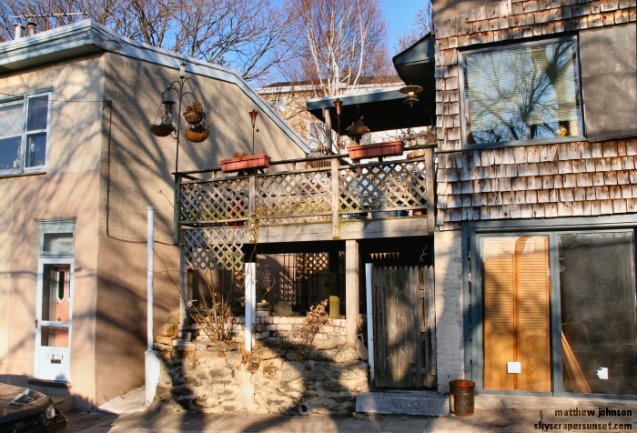 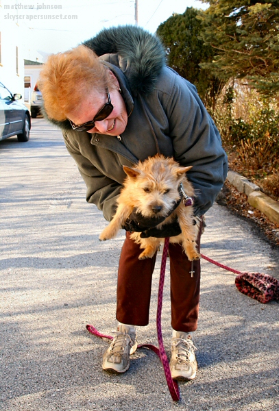 This walkway connects Boone St, Terrace St. above, and goes down toward Tower St. 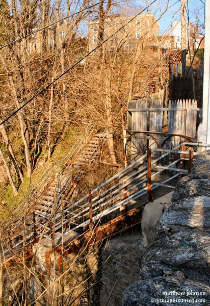 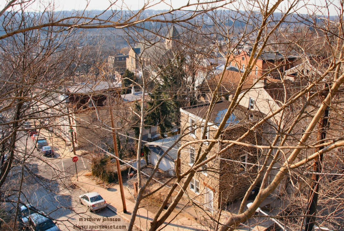  Roxborough Ave.   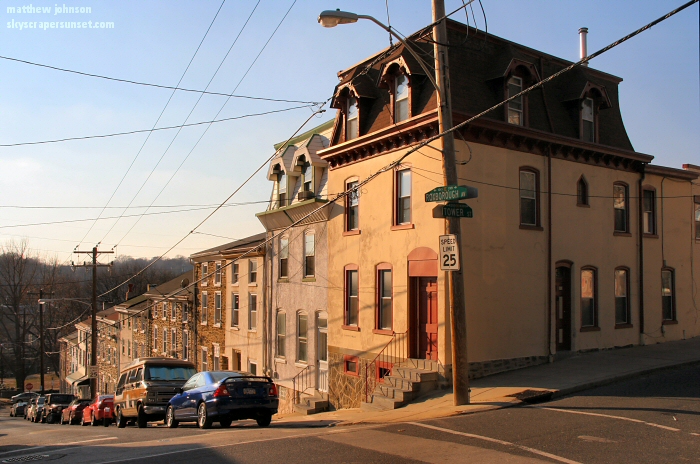 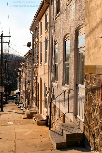 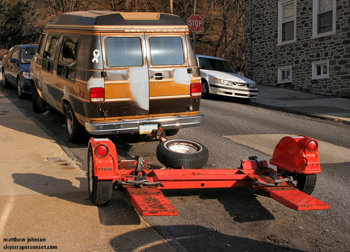 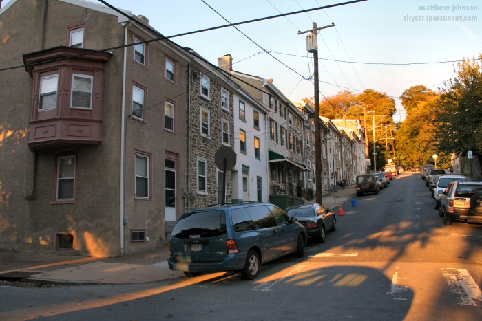 Pretzel Park 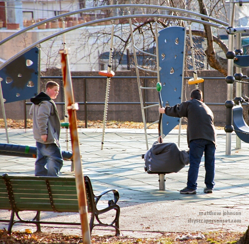 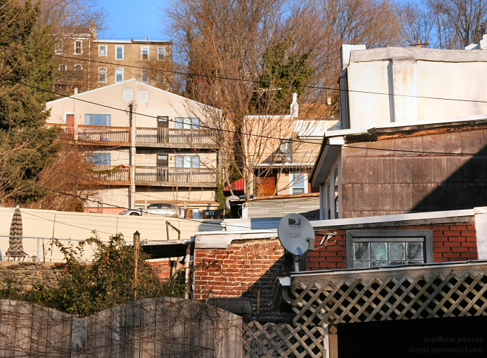 Cotton St. 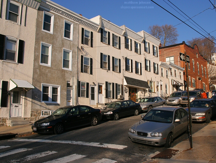 St. Josaphat at Silverwood and Cotton 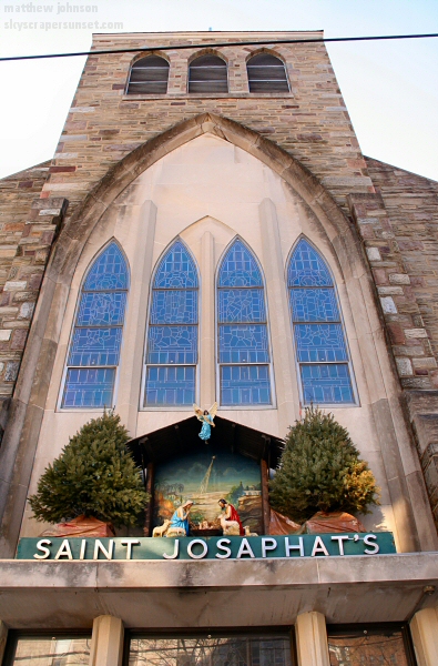 Looking southeast across Pretzel Park 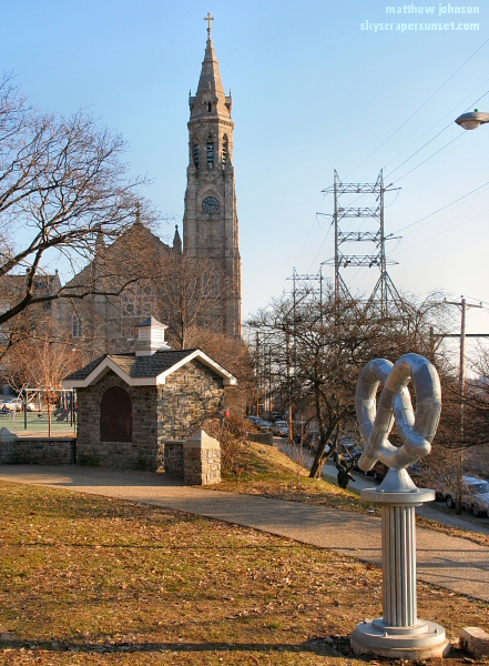 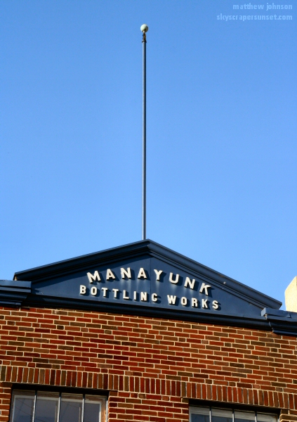 Cotton and Cresson 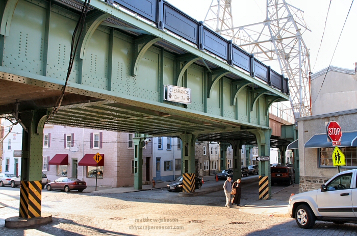 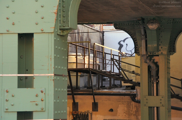 SEPTA Rail Lines cover Cresson St. 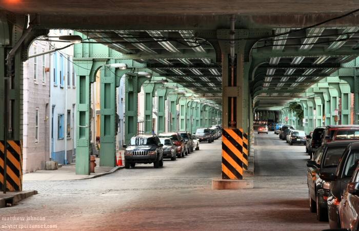 Back of St. Josaphat 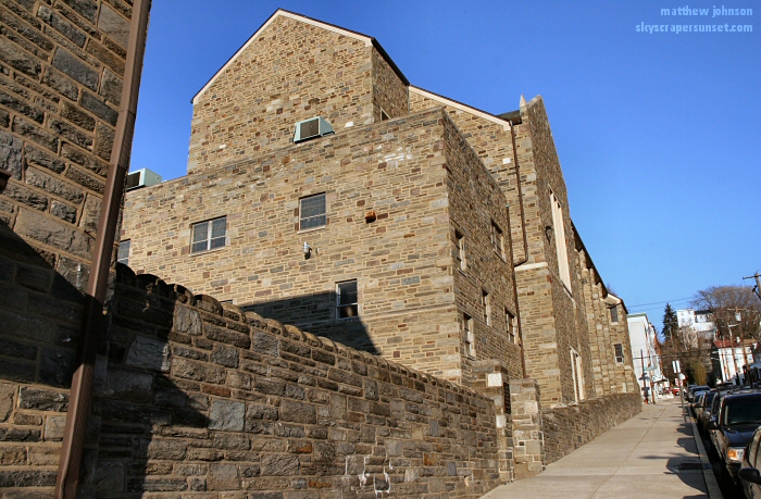 Pretzel Park 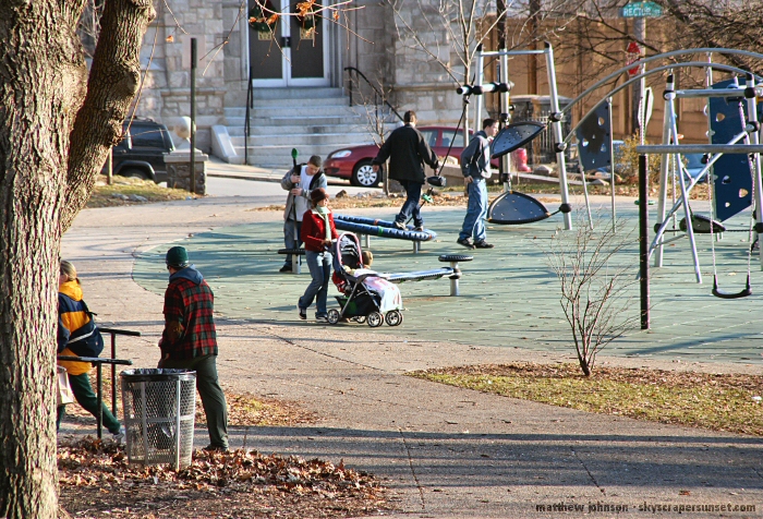 Cresson St. looking southeast 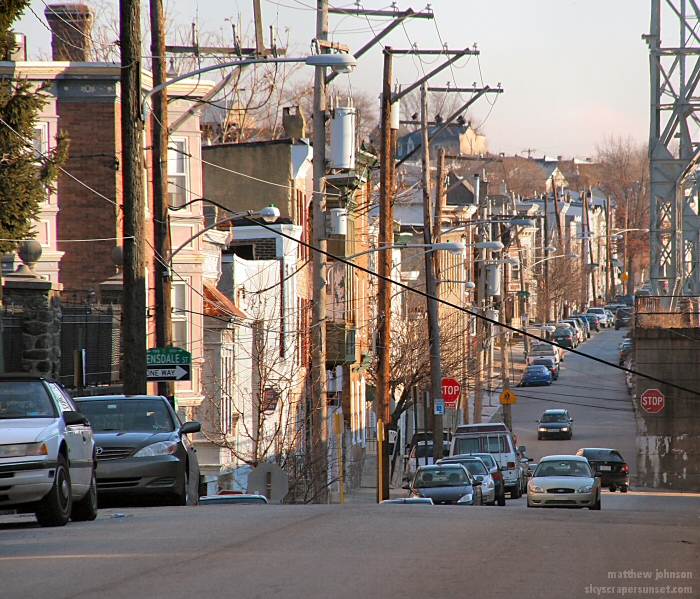 Cotton St. 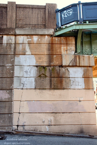 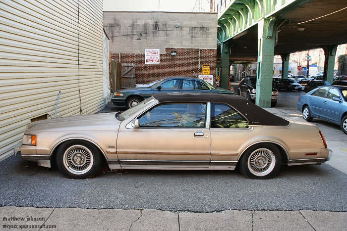 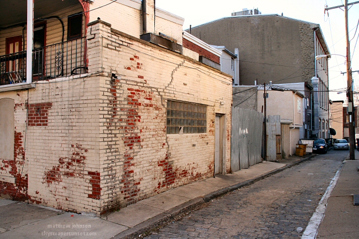 Main St. looking southeast 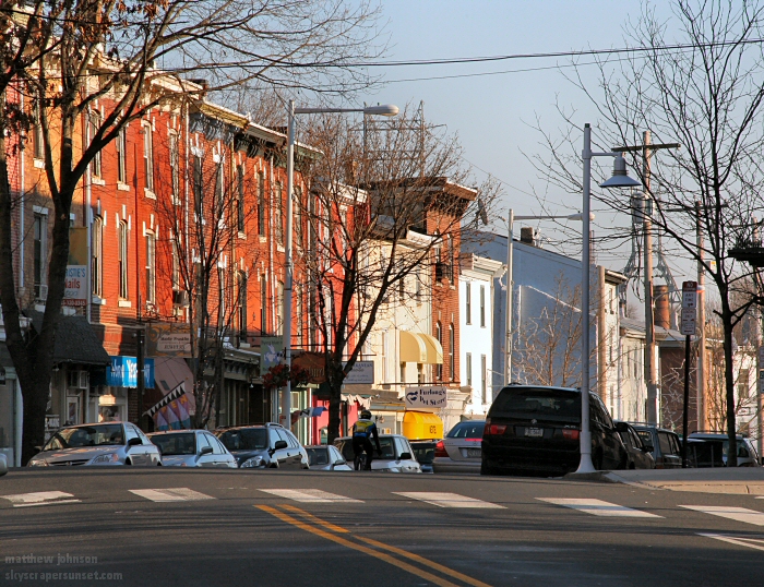 Main and Cotton - Banana Republic Women and several other shops 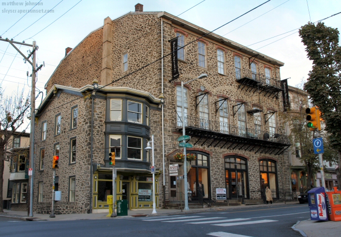 Orbit: Crafts, Fine Art, Design, and Framing. Home to some great old Philadelphia photos. 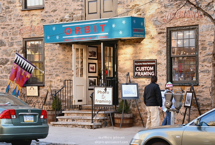 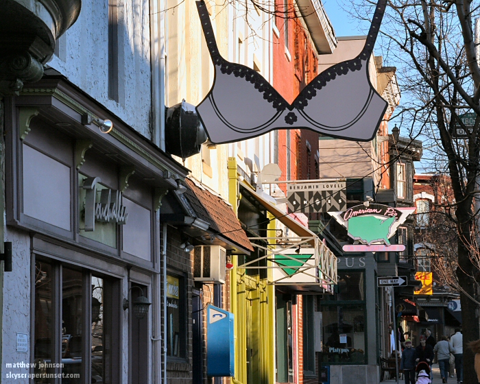 Manayunk Canal behind Main St. 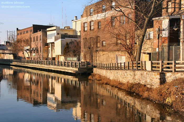 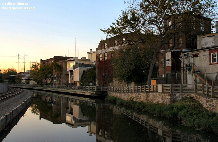 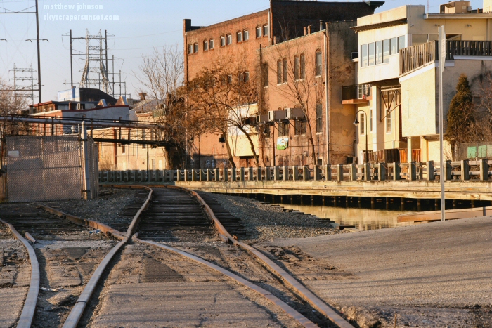 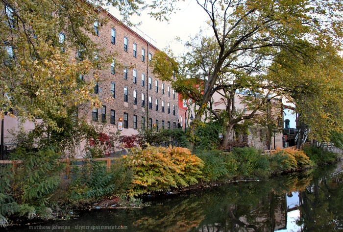 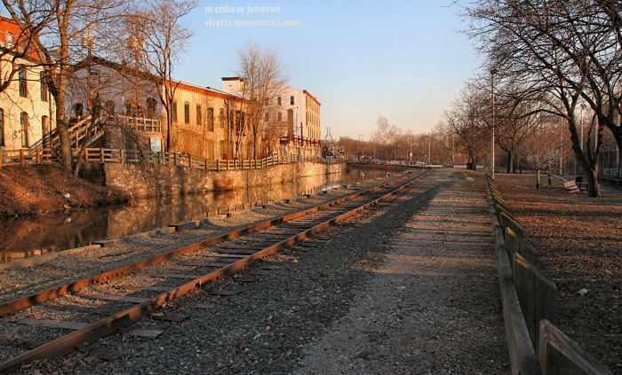 Venice Island playground 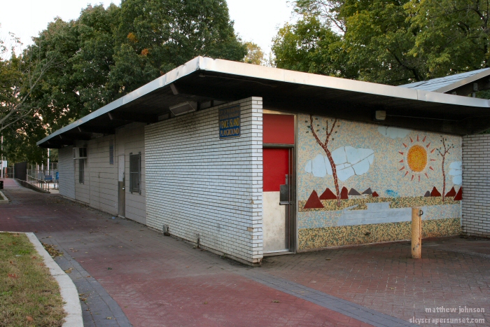  SkyscraperSunset ATM 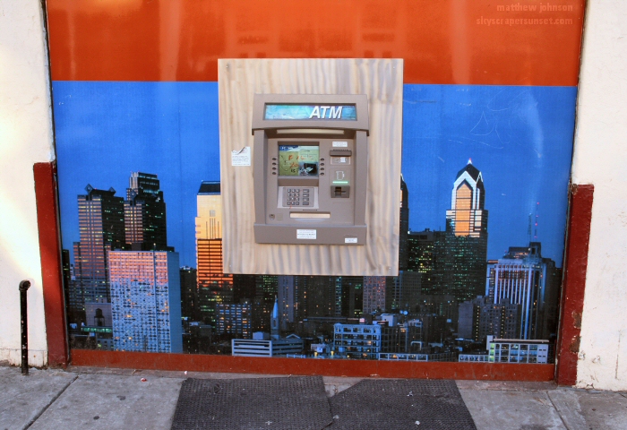 Back on Main St. 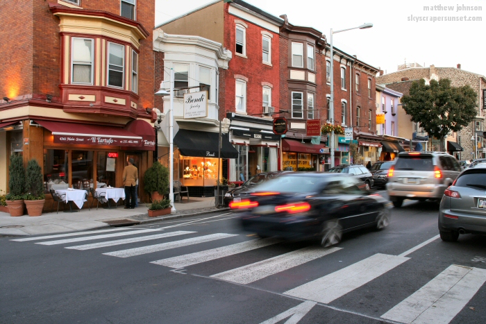 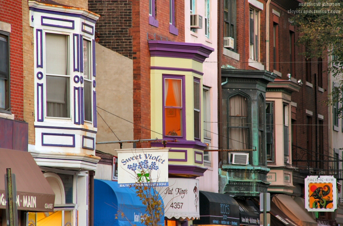 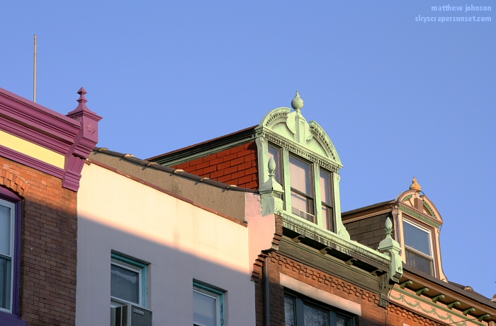 Jake's 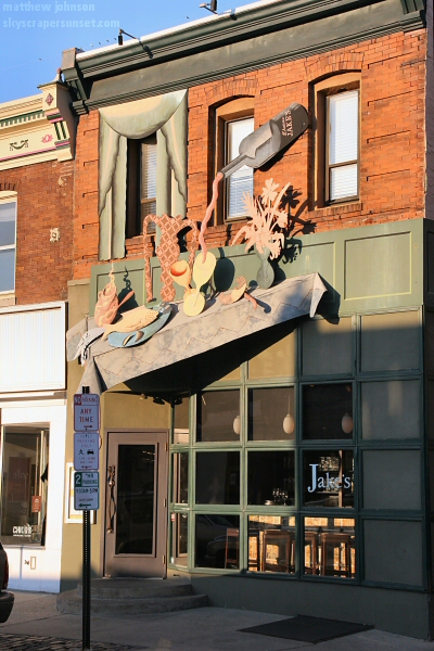 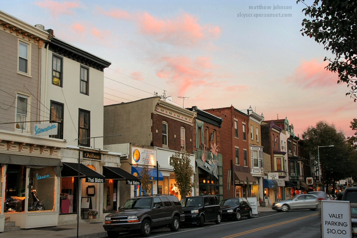 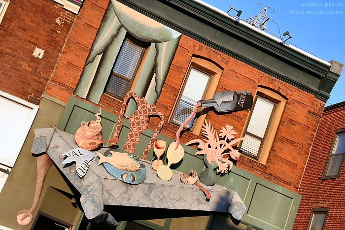 Vespas in front of a Vespa Store 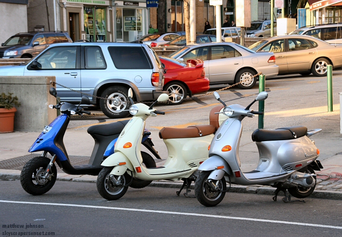 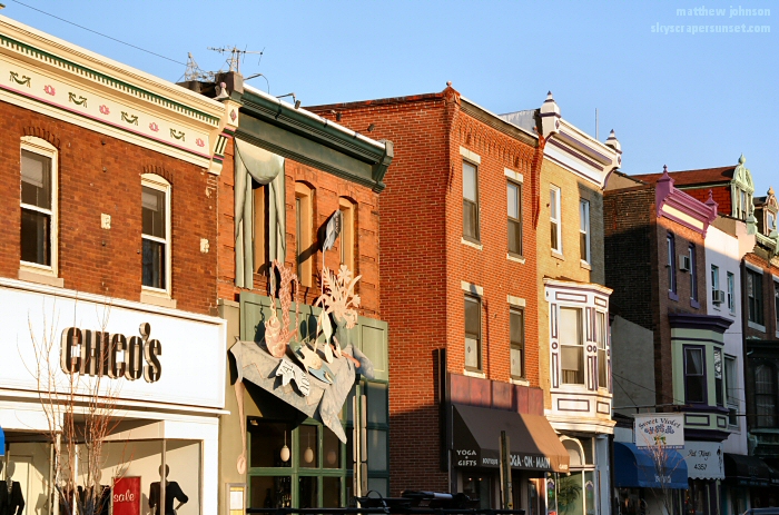 Sandy's Dream: One of my favorite murals, and one of the largest in the city 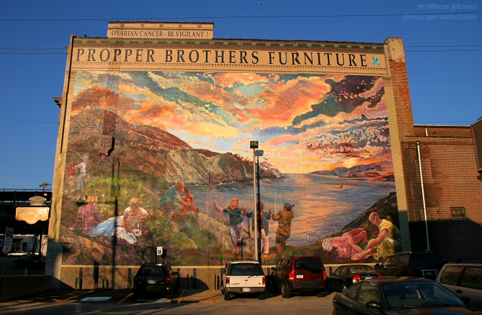 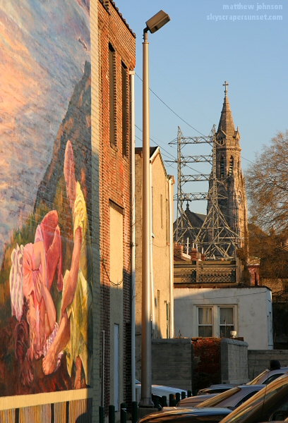 Levering St. 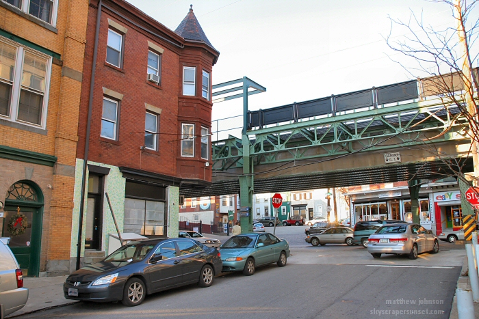 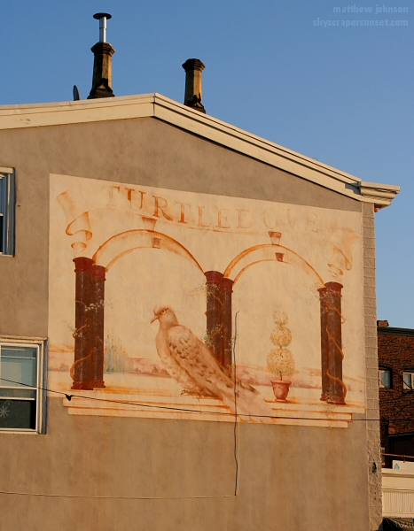 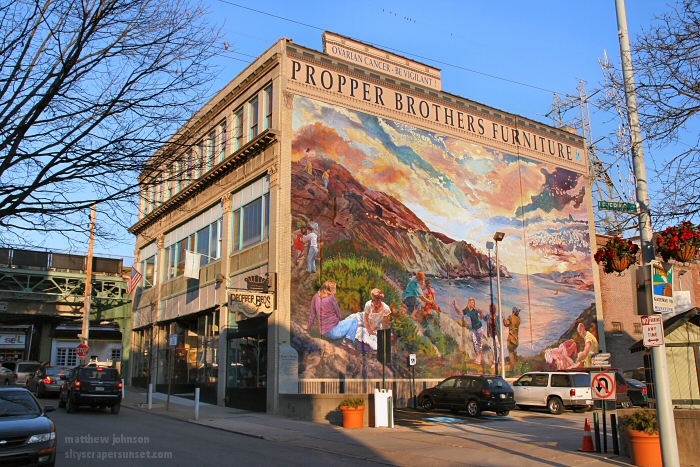 Mosiac off Main St. 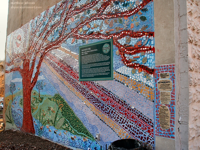 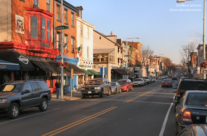 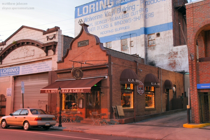 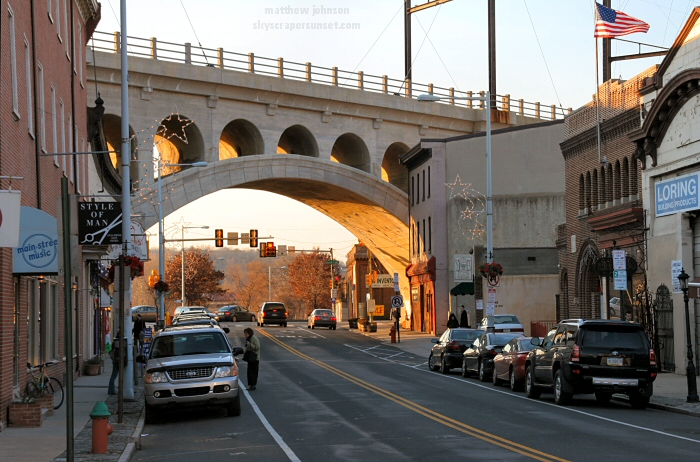 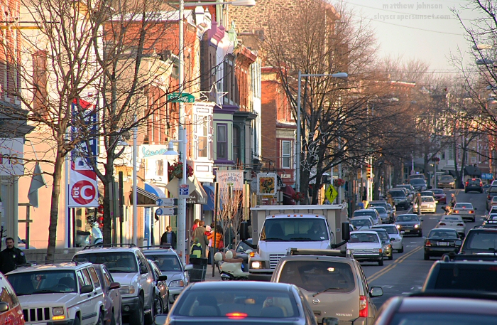 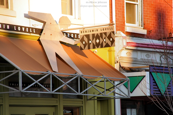  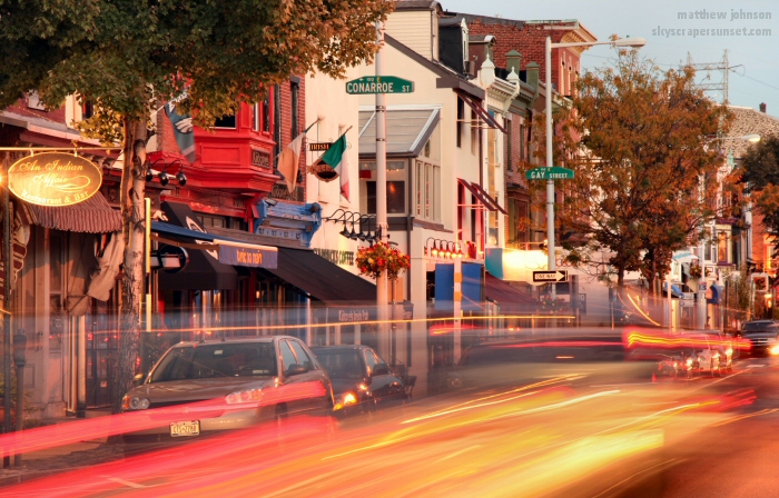
|